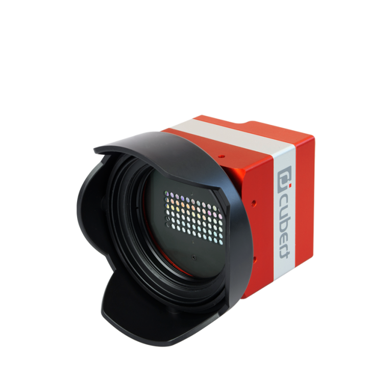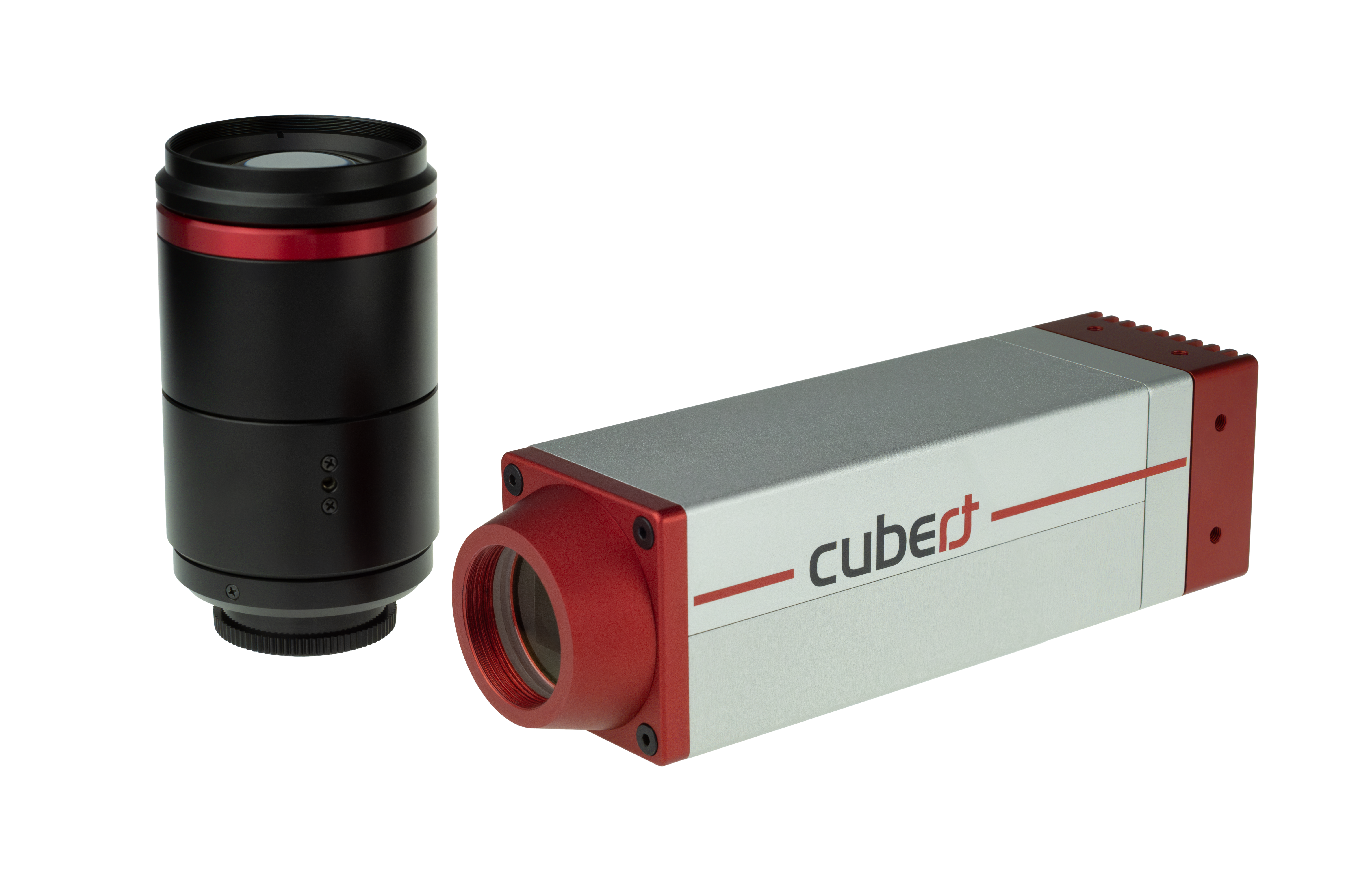
 Description
 Specifications
 Applications
 Pictures
 Videos
 Downloads
 Publications

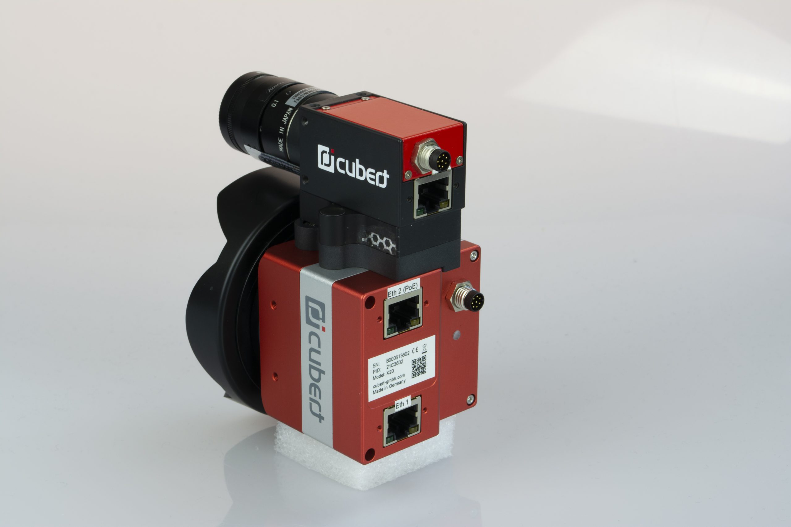
ULTRIS X20 Plus Applications
-
- Aerial Mapping: Despite having two camera sensors, the X20 Plus remains lightweight (<690 g). Combined with a mini-computer and GPS, the total weight is under 1.5 kg, making it compatible with a wide range of drones for capturing high-resolution hyperspectral images.
- Scientific Research: For those on the ground, whether in the lab or in the field, the X20 Plus offers both high resolution imaging and ease of use. The non-scanning snapshot technology allows users to capture the complete data cube within a few seconds.
CUVIS Software
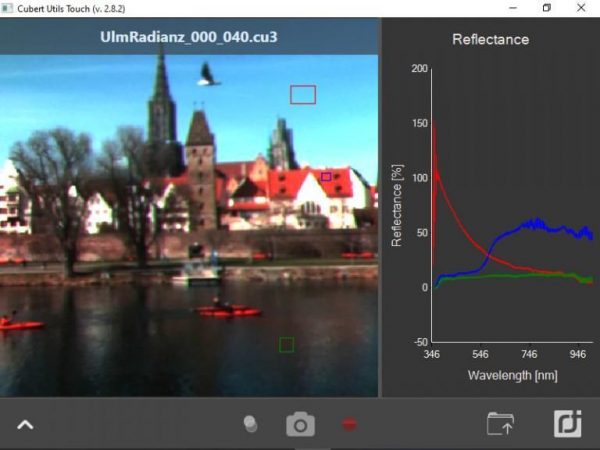
The ULTRIS X20 plus is seamlessly integrated with Cubert’s CUVIS Software, the foundational platform for Cubert’s hyperspectral imaging solutions. CUVIS combines advanced capabilities with exceptional ease of use, simplifying the complexities of hyperspectral imaging while providing powerful tools for real-time data acquisition and analysis. It offers a robust set of features, including customizable settings, white and dark current referencing, and multiple operating modes to ensure accurate and efficient imaging across various applications. CUVIS provides tools for advanced processing directly within its intuitive interface, allowing users to utilize plugins for specific imaging needs, calculate and display custom spectral indices, and efficiently record, process, and save raw data in formats like ENVI and TIFF. Tailored for both standalone use and incorporation into larger workflows, CUVIS is built to support AI integration and emerging technologies. For seamless integration into your established processes, a Software Development Kit (SDK) with wrappers for C++ and Python is also available.
ULTRIS X20 Plus Step file